
Attempted


11/06/2010

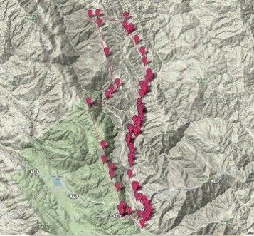
My quest was pretty simple. Wander up through the Joseph D. Grant county park and see what I could find. The reality turned out to be quite a little trip. The day started at the east side of the park off of 130 at the Twin Gates trail head. The beginning elevation was 2400’. There I followed the Canada de Pala trail north up to the Pala Seca Trail. Here I veered off all the way until I hit Antler point at 2,999 feet. Feeling a little brazen (and probably dumb), I wandered down into the valley below to see the stream below, Hondo Arroyo Creek. Suddenly I was treading down a pretty steep muddy hill. This was a mistake. At the bottom, there didn’t look like a good way to get up on either side, so I wandered up the creek a little and was able to find a gentle grade on the other side to climb up.
After weaving my way back up on the east side of the creek, I found my way to a ridge. Though off trail (which I realized later), there were plenty of little horse/cattle roads to follow. Here I had a great view looking over the San Jose Mountains and a perfect view of Mount Hamilton. I wandered a little more until I hit Mount Day at 3800’. There is almost nothing around Mount Day, affording fantastic views of the rolling mountains. Once the fog cleared, I could see all the way to San Jose as well. Finally, I looked at a map, realized I was off course and found my way back down to Kincaid Rd. where it was a straight hike back to 130, and then a small jaunt up to the car. I had hiked from sunrise to sunset and covered 18 miles and 3000’ of elevation change including the up and down in the river. Not bad for an accidental jaunt through the woods.

Path through a field
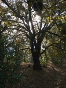
Tree along the trail